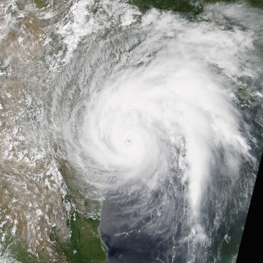
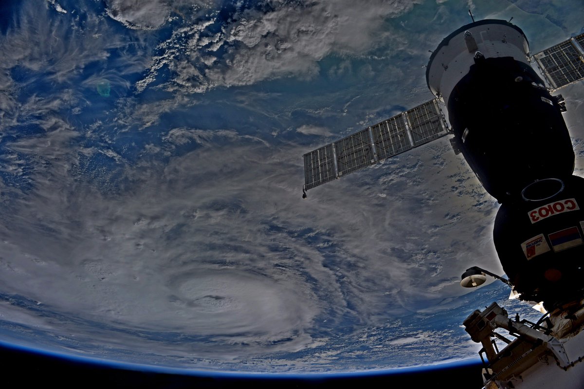
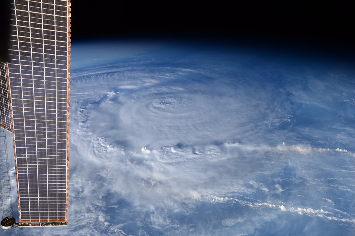
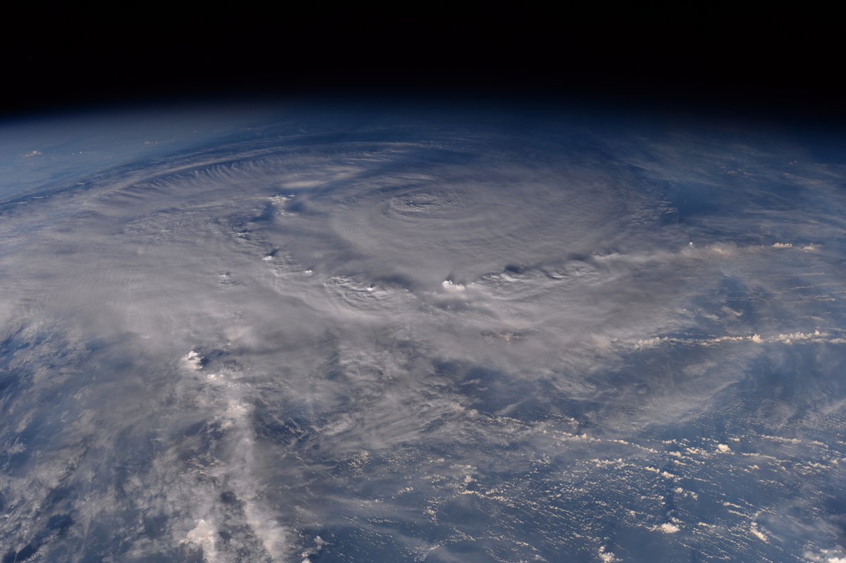
Videos and photos from satellites and the crew aboard the International Space Station showed Hurricane Harvey bearing down on the Texas coast this weekend.
The storm made landfall Friday night near Rockport, Texas, as a strong Category 4 hurricane with maximum sustained winds of 130 mph. Harvey has since weakened to a tropical storm, but its slow-moving meandering course has caused catastrophic flooding across parts of Texas, including Houston, home to NASA’s Johnson Space Center.
Members of the International Space Station’s control team are sheltering in place at the space center, and NASA said the James Webb Space Telescope is secured inside its test chamber, where engineers are preparing it for a launch next year.
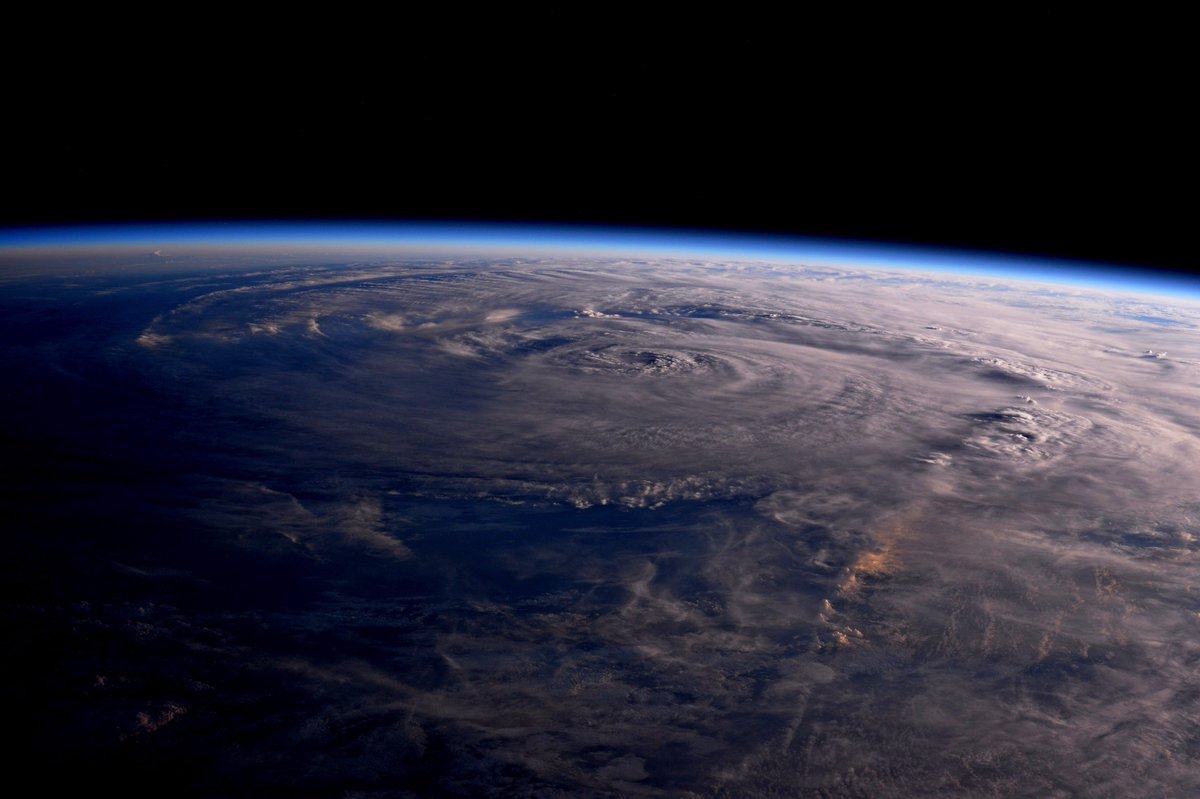
The first video below shows a view of Hurricane Harvey from the International Space Station on Friday, just hours before the storm reached the Texas coast. The second video is an animated satellite view from NOAA’s new GOES-16 weather observatory, a new-generation sentinel launched last November with an upgraded camera that produces clearer, more rapid imagery than previous weather satellites.
Email the author.
Follow Stephen Clark on Twitter: @StephenClark1.