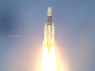
An Indian navigation satellite lifted off Thursday aboard a Polar Satellite Launch Vehicle, heading for a perch more than 22,000 miles over Africa to grow the country’s independent space-based positioning fleet.
The sixth spacecraft in the Indian Regional Navigation Satellite System launched at 1031 GMT (5:31 a.m. EST) Thursday from the Satish Dhawan Space Center, an island spaceport about 80 kilometers (50 miles) north of Chennai on India’s east coast.
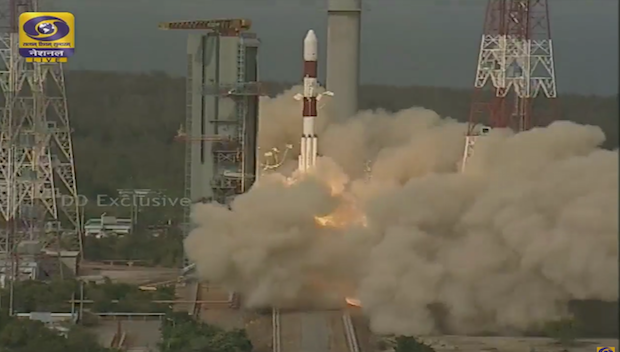
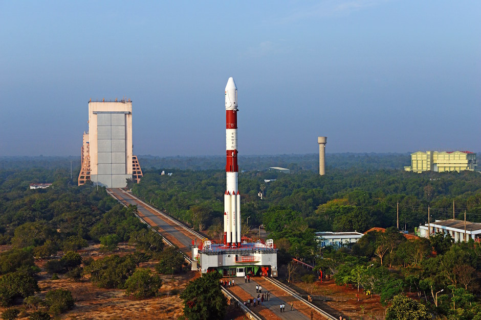
The 44-meter (145-foot) PSLV XL, boosted by six enlarged strap-on solid rocket motors, soared east from the launch base over the Bay of Bengal, surpassing the speed of sound in less than a minute on more than 2 million pounds of thrust.
The launch was delayed one minute early Thursday to avoid the risk of colliding with an object already in space.
The launcher shed its six boosters in the first 92 seconds of the mission, then released its solid-fueled first stage just shy of the two-minute mark.
A Vikas second stage engine ramped up to 180,000 pounds of thrust and consumed 42 metric tons — more than 90,000 pounds — of toxic liquid hydrazine and nitrogen tetroxide propellants in about two-and-a-half minutes, then the PSLV’s third stage solid rocket motor ignited at an altitude of 135 kilometers (83 miles).
A twin-engine fourth stage was responsible for injecting the IRNSS 1F spacecraft into an elliptical “sub-geosynchronous transfer orbit” with an apogee, or high point, nearly 20,700 kilometers (nearly 13,000 miles) above Earth.
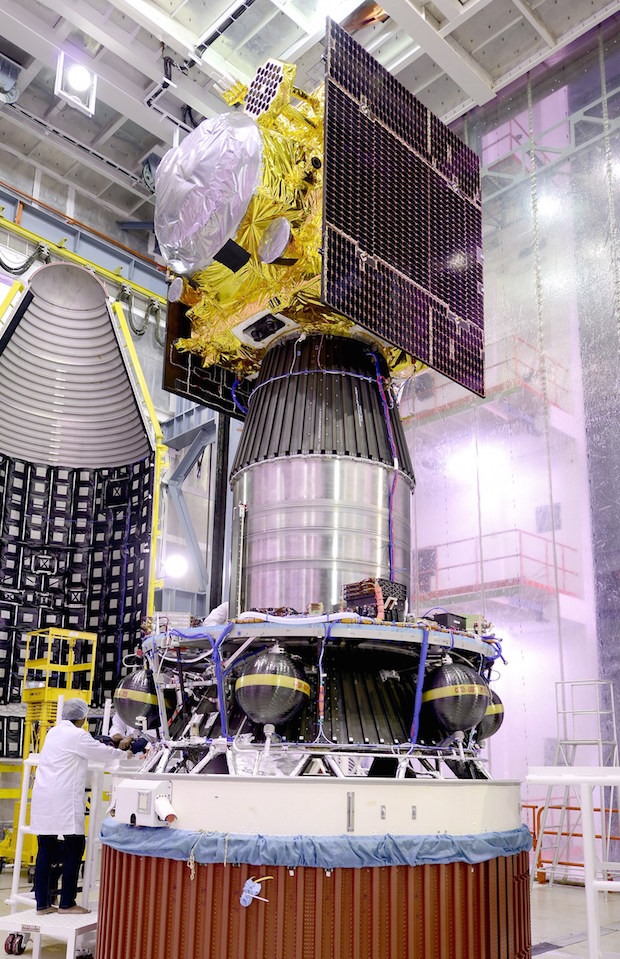
Controllers at the Indian Space Research Organization’s ground station in Hassan, India, took over command of the 1,425-kilogram (3,141-pound) satellite soon after its deployment from the PSLV’s fourth stage at 1051 GMT (5:51 a.m. EST).
Solar panels on the IRNSS 1F satellite unfurled shortly after Thursday’s launch to begin generating electricity, officials confirmed.
Four firings of the IRNSS 1F satellite’s orbit adjust engine will steer the spacecraft into a circular geostationary-type orbit nearly more than 35,700 kilometers (about 22,300 miles) up.
IRNSS 1F’s destination is an orbital slot at 32.5 degrees east longitude over Africa, where its velocity will match the rate of Earth’s rotation.
The satellite is joining five other IRNSS platforms launched by India since 2013. A seventh IRNSS spacecraft is due for liftoff in April to finish the network.
India placed four of the satellites into geosynchronous orbits with ground tracks tilted to the equator, causing their orbits to oscillate between 28 degrees north an south latitude.
IRNSS 1F is the second satellite to be launched into geostationary orbits closer to the equator. Once in service, its orbital inclination will be 5 degrees.
The IRNSS 1G spacecraft in preparation for an April liftoff will be the third Indian navigation satellite in an equatorial orbit.
ISRO says the navigation system will provide positioning data to users with an accuracy of better than 20 meters — about 66 feet — over India and neighboring regions.
“With the operationalization of five spacecraft, proof-of-concept of an independent regional navigation satellite system over India has been demonstrated for the targeted position accuracy of better than 20 meters (66 feet) over 24 hours of the day,” ISRO officials wrote in an information kit for Thursday’s launch.
“With the launch and operationalization of IRNSS 1F, the sixth in the constellation, better position accuracy will be provided,” the ISRO press kit said.
Each IRNSS satellite designed for a 12-year lifetime and carries L-band and S-band navigation signal transmitters. A C-band transponder aboard each spacecraft helps generate location estimates for the satellites, and a rubidium atomic clock keeps time aboard each platform.
Retro-reflectors aboard the IRNSS spacecraft are also available for laser ranging, according to ISRO.
India is one of several space powers developing their own navigation systems.
Japan is working on a domestically-built regional satellite navigation network similar to India’s, and China is launching satellites for its Beidou system, which should provide global positioning reach by 2020.
Europe’s Galileo navigation program is also launching satellites regularly, also eyeing completion as a global navigation provider by 2020.
The U.S. military’s Global Positioning System and Russia’s Glonass fleet are the only two navigation constellations currently offering worldwide coverage.
Email the author.
Follow Stephen Clark on Twitter: @StephenClark1.