China launched a high-altitude satellite Monday fitted with a powerful telescope to collect nearly continuous imagery of the Asia-Pacific from geostationary orbit, an apparently unique capability that could help track foreign naval activity, according to Chinese news reports.
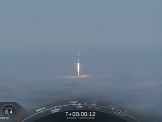
The Gaofen 4 spacecraft lifted off at 1604 GMT (11:04 a.m. EST) Monday from the Xichang launch base in southwest China’s Sichuan province, according to the official Xinhua news agency.
The 4.6-metric ton (10,141-pound) satellite flew into orbit on top of a Long March 3B rocket, reaching an oval-shaped transfer orbit about a half-hour after liftoff. U.S. military tracking data show the Gaofen 4 satellite in an orbit with a perigee, or low point, of about 200 kilometers (124 miles) and an apogee, or high point, of about 35,800 kilometers (22,245 miles), with a path inclined 23 degrees to the equator.
Gaofen 4 will use an on-board engine to reach a circular orbit nearly 36,000 kilometers (22,300 miles) above the equator in the coming weeks.
The satellite will enter service over the Asia-Pacific, with its imaging telescope able to observe a swath of the planet from the Persian Gulf to Australia, centered on China and Southeast Asia, according to information released by China.
No other country has disclosed the existence of such sharp-eyed geostationary satellites, but Chinese state-run media outlets have publicly revealed several of the newly-launched observatory’s characteristics.
Gaofen 4’s staring imager can spot objects as small as 50 meters (164 feet), a resolution that allows the satellite to see an oil tanker steaming across the ocean, according to Li Guo, Gaofen 4’s chief designer, in a story published by Xinhua.
That is a significant improvement over the image resolution from conventional weather satellites.
The state-run China Youth Daily newspaper reported earlier this year the Gaofen 4 satellite’s purpose is also to hunt for U.S. aircraft carriers operating near China.
At night, an infrared camera aboard Gaofen 4 can capture less detailed imagery with a resolution of about 400 meters, or 1,300 feet.
The State Administration of Science, Technology and Industry for National Defense, or SASTIND, oversees development of the Gaofen series of satellites. Gaofen 4 is the program’s first spacecraft in geostationary orbit, coming after launches of imaging satellites into low Earth orbit in recent years.
Gaofen 4 is designed for an eight-year lifetime.
Other missions for the satellite include disaster prevention and relief, surveillance of global disasters and forest disasters, and weather forecasting, according to Xinhua.
The launch of Gaofen 4 marked China’s 19th space launch of the year.
Email the author.
Follow Stephen Clark on Twitter: @StephenClark1.