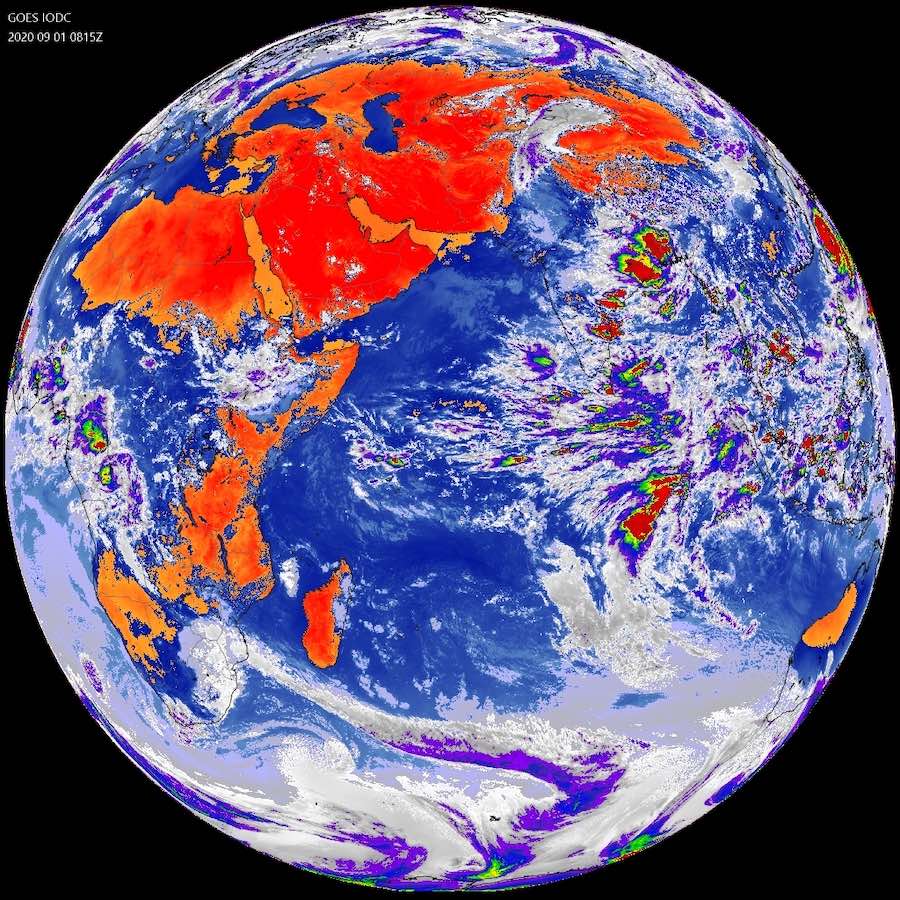
A weather satellite built and launched for NOAA in 2006 to help track hurricanes approaching the United States has been repositioned to monitor weather conditions in the Middle East to support U.S. military operations in the region.
The GOES-13 satellite, no longer needed for monitoring weather over the United States, was transferred from NOAA to the U.S. Air Force last year under an interagency agreement. The Space Force’s Space and Missile Systems Center announced Sept. 8 that the spacecraft has arrived and commenced operations at a new location in geostationary orbit over the Indian Ocean.
The spacecraft has been renamed the Electro-optical Infrared Weather system Geostationary 1, or EWS-G1, spacecraft.
The EWS-G1 spacecraft is the first geostationary weather satellite owned by the Department of Defense, the Space Force said in a statement. “The satellite provides timely cloud characterization and theater weather imagery to DoD in the Indian Ocean region, addressing needs across Central Command and other operating theaters,” the military said.
Central Command oversees U.S. military operations in the Middle East and parts of Central Asia, including Afghanistan and Iraq.
The Space and Missile Systems Center said the transfer and relocation of the newly-renamed EWS-G1 satellite was the culmination of joint efforts between the Space Force, NOAA, and NASA.
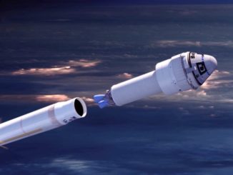
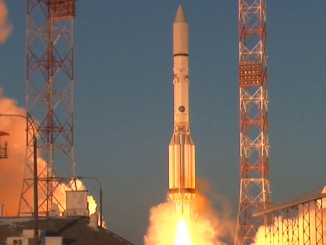
Launched from Cape Canaveral aboard a Delta 4 rocket in 2006, the GOES-13 satellite became the primary weather observatory in NOAA’s GOES-East location in 2010. From a perch more than 22,000 miles (nearly 36,000 kilometers) over the equator, GOES-13’s imager and sounder instruments tracked tropical cyclones in the Atlantic Ocean, Gulf of Mexico, and Caribbean Sea, and monitored severe weather, snowstorms and, other weather systems across the eastern half of the United States.
In geostationary orbit, satellites move around Earth at the same rate the planet rotates. Such orbits are useful for communications satellites and weather observatories, giving spacecraft constant coverage over the same part of the planet.
GOES-13 was the first in a series of three NOAA geostationary weather satellites built by Boeing that launched in 2006, 2009, and 2010. Despite suffering problems with its solar imager and sounder, GOES-13 remained in service supplying imagery to weather forecasters until the more capable GOES-16 satellite took over the GOES-East position in December 2017.
NOAA then moved GOES-13 to an on-orbit storage location until the satellite was transferred to the military in 2019.
The GOES-17 satellite, which launched in 2018, is currently serving as NOAA’s GOES-West satellite tracking weather in the western United States and the Pacific Ocean. NOAA also has GOES-14 and GOES-15 available as spares.

“EWS-G1 is a prime example of innovation and the leveraging of partnerships. SMC partnered with NOAA and NASA to deliver critically needed geostationary visible and infrared cloud characterization and theater weather imagery in the Indian Ocean region,” said Charlotte Gerhart, chief of the Space and Missile Systems Center’s production corps low Earth orbit division.
“This effort demonstrates speed by allowing the spacecraft to be moved and operated in the Indian Ocean region far earlier than a new satellite could be produced and fielded,” Gerhart said in a statement. “The repurposing of GOES-13, and residual NOAA ground equipment, accomplished the mission at a fraction of the procurement cost of a brand new system.”
NOAA will continue operating the EWS-G1 satellite on behalf of the Space Force for its remaining life span from the agency’s operations facility in Suitland, Maryland.
After arriving at its new operating location, the satellite was put through a “thorough checkout” of its spacecraft and sensor systems, the Space Force said.
Before taking over the GOES-13 satellite to become EWS-G1, the military used weather imagery from the European Meteosat 8 satellite positioned in geostationary orbit over the Indian Ocean. Meteosat 8 is expected to run out of fuel around 2022.
Email the author.
Follow Stephen Clark on Twitter: @StephenClark1.