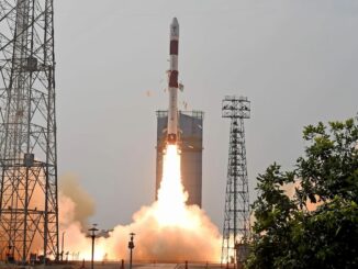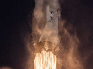
A European Vega rocket is scheduled to launch Tuesday from a tropical spaceport in South America carrying two Israeli-built satellites for the Italian military and a French-Israeli environmental observatory.
The tandem mission will deploy the Optsat 3000 and Venµs Earth observation satellites into two different polar orbits following liftoff from Kourou, French Guiana, at 0158:33 GMT Wednesday (9:58:33 p.m. EDT; 10:58:33 p.m. Kourou time Tuesday).
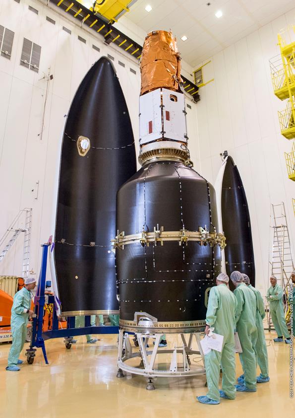
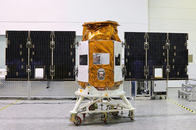
The satellites were built by Israel Aerospace Industries under agreements with Israeli, Italian and French governments.
“From a business point-of-view, these are two super high-end satellties, each one with their own capabilities,” said Opher Doron, general manager of IAI’s space division. “Both are going to top-notch customers who know what they’re talking about, and it’s a great honor to provide these satellites, and to get them ready for operation for the Italian Ministry of Defense, and ISA (Israel Space Agency) and CNES (the French space agency).”
Optsat 3000, the heavier of the mission’s two payloads, will separate from the launcher first around 43 minutes after liftoff. The Venµs spacecraft will deploy from the Vega rocket’s upper stage around T+plus 1 hour, 37 minutes.
Once the booster’s three Italian-made solid rocket motors propel the Vega rocket to the north from French Guiana, a Ukrainian-made fourth stage engine will ignite five times on Tuesday night’s flight, first to send the Optsat 3000 satellite to an orbit around 280 miles (450 kilometers) above Earth, then to raise its altitude to 447 miles (720 kilometers) for separation of Venµs.
The final upper stage maneuver will de-orbit the rocket to avoid it becoming space junk.
Optsat 3000 is Italy’s first optical surveillance satellite, joining a fleet of Italian radar imaging craft already in orbit. The $182 million satellite, designed for a lifetime of at least six years, carries a Jupiter remote sensing camera provided by Israel-based Elbit Systems Ltd. capable of resolving objects on the ground smaller than a half-meter (20 inches).
The Italian Ministry of Defense ordered the Optsat 3000 satellite from Israel Aerospace Industries as part of a reciprocal contract arrangement, in exchange for the Israeli military’s purchase of Italian-made jet trainers.
Telespazio acts as prime contractor for the Optsat 3000 program, and OHB Italy reserved the satellite’s launch on a Vega rocket with Arianespace.
“Optsat is our very high-end electro-optical satellite,” Doron said in an interview with Spaceflight Now. “It’s going to be flying at 450 kilometers. It’s got superb resolution at that altitude.”
Optsat 3000’s imaging strength, enabled in part by its relatively low-altitude orbit, apparently bests the resolution offered by spy satellites owned by other European governments, and matches the world’s best commercial Earth observation spacecraft.
“I think it’s probably one of the more advanced satellites around,” Doron said.
Without disclosing the exact resolution of Optsat 3000’s images, Doron said it will offer “WorldView-class” image sharpness from its operating orbit. DigitalGlobe’s newest WorldView satellites have cameras capable to resolving features as small as 31 centimeters, or 12 inches, on the ground.
“The generic Optsats offer 50 centimeters (resolution) from 600 kilometers, although this one will be better because it’s lower, so it’s super-high resolution,” Doron said. “This satellite is also optimized to cover very large areas. It’s very agile, so it can cover lots of targets in many areas using different scanning modes and different scanning directions.”
Doron described Optsat 3000 as a “tool designed for practical intelligence users.”
The Venµs spacecraft is setting off on a dual scientific and technology demonstration mission.
Fitted with a French-supplied “super-spectral” color camera sensitive in 12 bands ranging from blue to near-infrared, Venµs will take pictures of vegetation, glaciers, coastlines and other features from a perch 447 miles (720 kilometers) above Earth.
“What is really unique in Venµs is the convergence of three things,” said Pierric Ferrier, the Venµs project manager at CNES. “The good resolution of 5 meters (16 feet), the spectral richness of the camera in 12 bands, and the third is revisit — two days.”
Existing Earth observation satellites observe pre-defined zones of interest every 10 to 15 days,” Ferrier told Spaceflight Now in a phone interview. “At this frequency, you cannot observe quickly for phenomena such as plant growth, variation of snow cover, and various types of phenomena which need constant, frequent observation. So Venµs will be able to distinguish between two images taken at two-day intervals, and see what has evolved quickly between the two images.”
A software algorithm developed for the Venµs mission will help scientists remove clouds and aerosols from the satellite’s imagery, revealing minute changes on the surface.
Scientists will point Venµs’s camera toward 110 areas of interest in forests, croplands and nature reserves around the world, according to CNES. No other satellite currently in orbit can survey the same locations with the resolution and frequency of the Venµs mission, a benefit gained at the expense of global coverage, officials said.
The United States has 24 percent of the Venµs mission’s targets, more than any other nation.
Researchers will track plant growth, snow cover, glacial movements, and sediments in coastal estuaries with the Venµs satellite. Scientists will analyze the mission’s data output to study how environmental and human factors influence vegetation health.
“Venµs will be used to model the influence of human activities or environmental factors, global warming, on the surface reflectances,” Ferrier said. “The idea is to be able to build models to study the evolution and prevent the effect of global warming and allow sustainable development.”
“The hydric stress of vegetation can be observed in some of the spectral bands of Venµs, then you will be able to monitor exactly the need of water for your plants, and in the infrared domain also you can monitor the presence of water in the soil or not.”
“Each type of plant has its own spectral signature. We are able to segregate and isolate some of the crops we want to observe, and we can combine some spectral bands and get the spectral signature of each crop.”
The Venµs project is a partnership between CNES and the Israel Space Agency. Besides the satellite’s primary camera, France is in charge of the mission’s science data center and other ground systems. Israeli engineers built the satellite, the camera’s telescope and a experimental plasma thruster to be tested in the second phase of the Venµs mission.
IAI built a nanosatellite that launched in February that is making experimental weather observations, but Doron said Venµs is “the first serious research satellite Israel has done.”
Officials from the Israel Space Agency and CNES said each nation contributed approximately $40 million to the Venµs mission. Adjusting for the price of the launch, the mission’s total cost exceeds $100 million.
“It’s a very nicely run program between the two space agences, and we hope for many more,” Doron said.
After a two-and-a-half-year Earth observation campaign, Venµs’s altitude will be lowered to approximately 250 miles (410 kilometers) to test the low-power electric thruster’s ability to counteract the effect of atmospheric drag and maintain the satellite’s orbit.
Developed by Rafael, an Israeli defense contractor, the Hall effect thruster design could be used on future Israeli-built reconnaissance satellites.
“It’s a very exciting new capability that we plan to migrate on to other satellites to give us longer life and lower altitudes,” Doron said. “This is designed to give us a flight-proven capability.”
Email the author.
Follow Stephen Clark on Twitter: @StephenClark1.