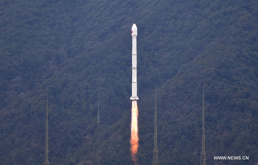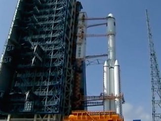
A new addition to China’s Beidou navigation network launched Monday on top of a Long March 3C rocket, which injected the satellite into an orbit more than 13,000 miles above Earth several hours later.
The Beidou spacecraft will test inter-satellite communications links with other members of the Chinese navigation constellation and support the system’s growth from regional coverage over China to a global positioning provider, according to the state-run Xinhua news agency.
Riding a Long March 3C rocket propelled by two hydrazine-burning liquid-fueled boosters, the Beidou satellite lifted off at 0729 GMT (2:29 a.m. EST; 3:29 p.m. Beijing time) from the Xichang space center in southwestern China’s Sichuan province, Xinhua reported.
A Yuanzheng upper stage fired about three hours later to place the Beidou spacecraft in a nearly circular orbit. U.S. military tracking data indicated the rocket released the satellite in an orbit at an average altitude of approximately 13,500 miles (21,750 kilometers) tilted at an angle of 55 degrees to the equator.
The Yuanzheng upper stage, powered by a long-life battery lasting up to six hours, first flew in March 2015. It allows Beidou navigation satellites to launch directly into their operational orbits, instead of being dropped off in an egg-shaped transfer orbit requiring altitude-raising maneuvers by the spacecraft’s own engine.
The newest satellite is the 21st payload to launch for the Beidou program, including demonstrators which are now retired from service.
In addition to testing interconnectivity with other Beidou satellites and growing the constellation, the latest Beidou spacecraft also features autonomous control technologies to reduce its reliance on ground controllers. The satellite carries a particle detector to probe the environment in orbit 13,000 miles above Earth, a region where high-energy radiation could be a threat to sensitive spacecraft components, Xinhua reported.
The craft launched Monday is the second member of the Beidou system’s latest generation of satellites, which are lighter and broadcast new types of navigation signals. The satellite also uses a more precise hydrogen atomic clock to improve the accuracy of positioning data on the ground, according to Xinhua.
The official Chinese news agency reported a Shanghai-based division of the China Academy of Sciences set up to develop small satellite platforms constructed the Beidou satellite deployed Monday.
China aims for the Beidou network to be ready for global navigation services in 2020, joining the U.S. Air Force’s Global Positioning System, Russia’s Glonass service and Europe’s Galileo navigation satellites — which is still in its initial deployment phase — as worldwide providers.
Beidou managers say the constellation will provide positioning services with an accuracy of about 33 feet, or 10 meters, speed estimates within less than one foot per second, and time measurements within 10 nanoseconds.
The Chinese military will be a primary user of the Beidou navigation services, but Chinese officials tout many civilian applications, including personal navigation, aviation routing and disaster relief.
Nearly 20 Beidou satellites are due for launch over the next three years, Xinhua said.
The fully operational Beidou system will consist of 35 satellites in three types of orbits: Geosynchronous orbit over the equator and two high-latitude orbits circling 22,236 miles (35,786 kilometers) and 13,376 miles (21,528 kilometers) above Earth.
Email the author.
Follow Stephen Clark on Twitter: @StephenClark1.


