Live broadcast from ISRO begins at 0330 GMT (10:30 p.m. EST)
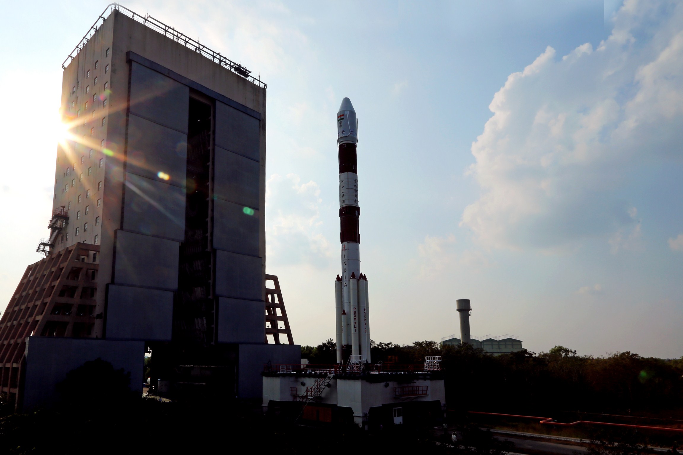
India’s Polar Satellite Launch Vehicle is scheduled to deploy the fifth satellite in the country’s regional navigation network Wednesday.
The 1,425-kilogram (3,141-pound) spacecraft will blast off on the 33rd flight of India’s workhorse PSLV launcher at 0401 GMT Wednesday (11:01 p.m. EST Tuesday) from the Second Launch Pad at the Satish Dhawan Space Center on Sriharikota Island, a facility on India’s east coast.
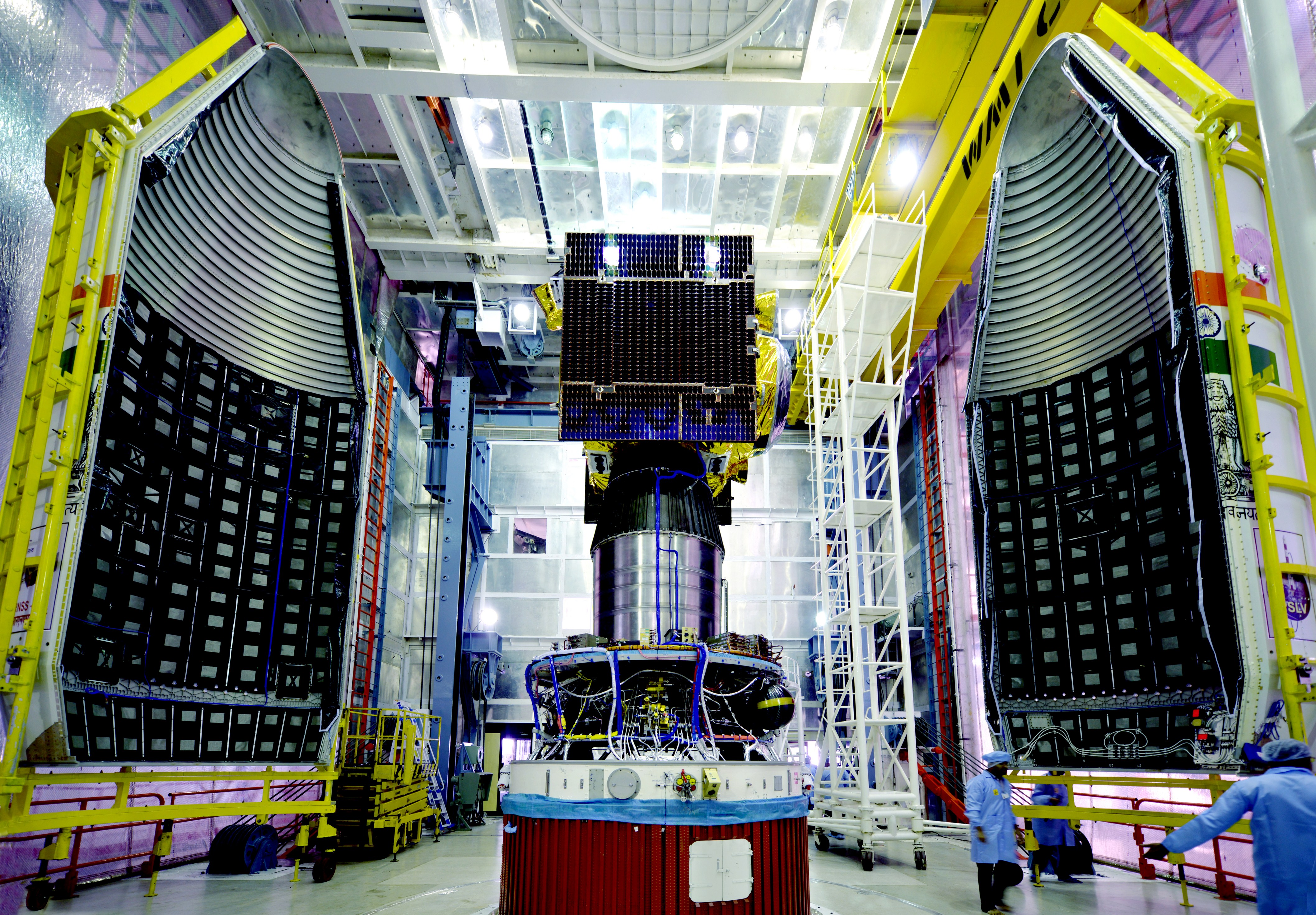
The satellite will join four previous craft launched for the Indian Regional Navigation Satellite System, a constellation set up to provide positioning data to users across India and in territories extending up to 1,500 kilometers (932 miles) from the nation’s borders.
India is developing the network to have an independent navigation system separate from the U.S. military’s GPS fleet. Russia’s Glonass system also provides global navigation coverage, and China and Europe are building their own satellite constellations for worldwide navigation services.
But India’s program is focused on South Asia.
Seven IRNSS satellites will beam position data with L-band signals to users from orbits nearly 36,000 kilometers (22,300 miles) above Earth. After the launch of the fifth IRNSS satellite Wednesday, the final two IRNSS spacecraft are scheduled for launch in the next few months.
IRNSS 1E will ride the most powerful version of India’s Polar Satellite Launch Vehicle, named the PSLV XL, into orbit following liftoff Wednesday at 9:31 a.m. local time at the launch site.

The PSLV XL configuration features six strap-on solid rocket boosters packed with extra propellant to help haul heavier satellites into space.
Four of the PSLV’s six boosters and the solid-fueled core stage will ignite to drive the 44.4-meter (146.7-foot) rocket off the launch pad, and the launcher’s other two strap-on motors will fire at T+plus 25 seconds.
The six boosters and first stage motor collectively generate more than 2 million pounds of thrust in the first phase of launch.
After consuming their pre-packed solid propellant, the first four boosters will jettison from the PSLV at T+plus 70 seconds, followed by the final pair at T+plus 92 seconds, according to a mission press kit released by the Indian Space Research Organization.
The first stage will have burned its supply of 138 metric tons — about 300,000 pounds — of propellant by T+plus 1 minutes, 51 seconds, when the spent rocket motor will jettison and the PSLV’s hydrazine-burning Vikas second stage engine takes over control of the flight.

The Vikas engine will produce 180,000 pounds of thrust in its roughly two-and-a-half minute firing, during which the PSLV’s nose shroud will release at T+plus 3 minutes, 18 seconds, to reveal the IRNSS 1E satellite once the rocket flies above the dense lower layers of the atmosphere at an altitude of 112 kilometers (69 miles).
The PSLV’s third stage solid motor will ignite at T+plus 4 minutes, 24 seconds, and propel the rocket toward orbit for nearly two minutes. Then the rocket will coast through space for almost four minutes before the third stage detaches and the liquid-fueled fourth stage begins the final maneuver to place the IRNSS 1E satellite into orbit.
The fourth stage’s two engines are programmed to burn for about eight-and-a-half minutes, then switch off before deployment of the IRNSS 1E satellite at T+plus 19 minutes, 20 seconds.
The mission will place the spacecraft in an orbit with a low point of about 284 kilometers (176 miles), a high point of 20,657 kilometers (12,835 miles) and an inclination of 19.2 degrees, according to ISRO.
Rocket thrusters mounted on the IRNSS 1E satellite will adjust its path around Earth in the weeks after launch to reach a circular geosynchronous orbit nearly 36,000 kilometers (22,300 miles) in altitude tilted 28.1 degrees to the equator.
IRNSS 1E is one of four Indian navigation satellites set to enter an inclined geosynchronous orbit. When the network is complete, three other IRNSS craft will operate in more conventional geosynchronous orbits closer to the equator.
ISRO says the IRNSS 1E satellite will be positioned at 111.75 degrees east longitude, but its inclined orbit means the spacecraft will oscillate north and south of the equator each day.
The four Indian navigation satellites already launched provide position data with an accuracy of 20 meters (65 feet) during 18 hours of the day, according to ISRO.
“With the launch of IRNSS 1E and the subsequent 1F and 1G in February and March 2016, the IRNSS constellation will be completed for the total operational use,” ISRO officials wrote in the mission press kit.
Email the author.
Follow Stephen Clark on Twitter: @StephenClark1.


