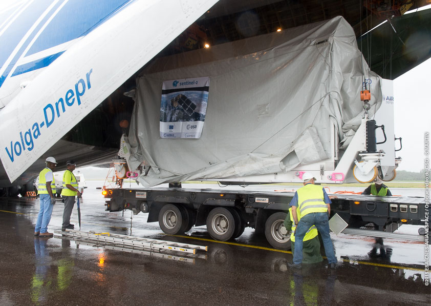
Wrapped inside a protective shipping container, Europe’s Sentinel 2A land imaging satellite flew from Germany to French Guiana this week aboard an Antonov transport plane to prepare for launch aboard a Vega rocket in June.
The heavy-duty cargo aircraft flew from Munich and touched down at the airport in Cayenne, French Guiana, on Tuesday, then ground crews unloaded the spacecraft for an overland trip to the nearby Guiana Space Center.
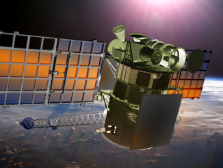
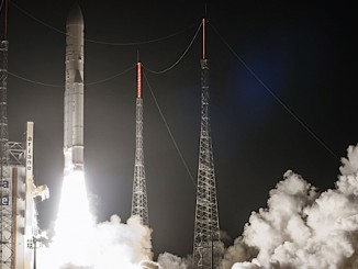
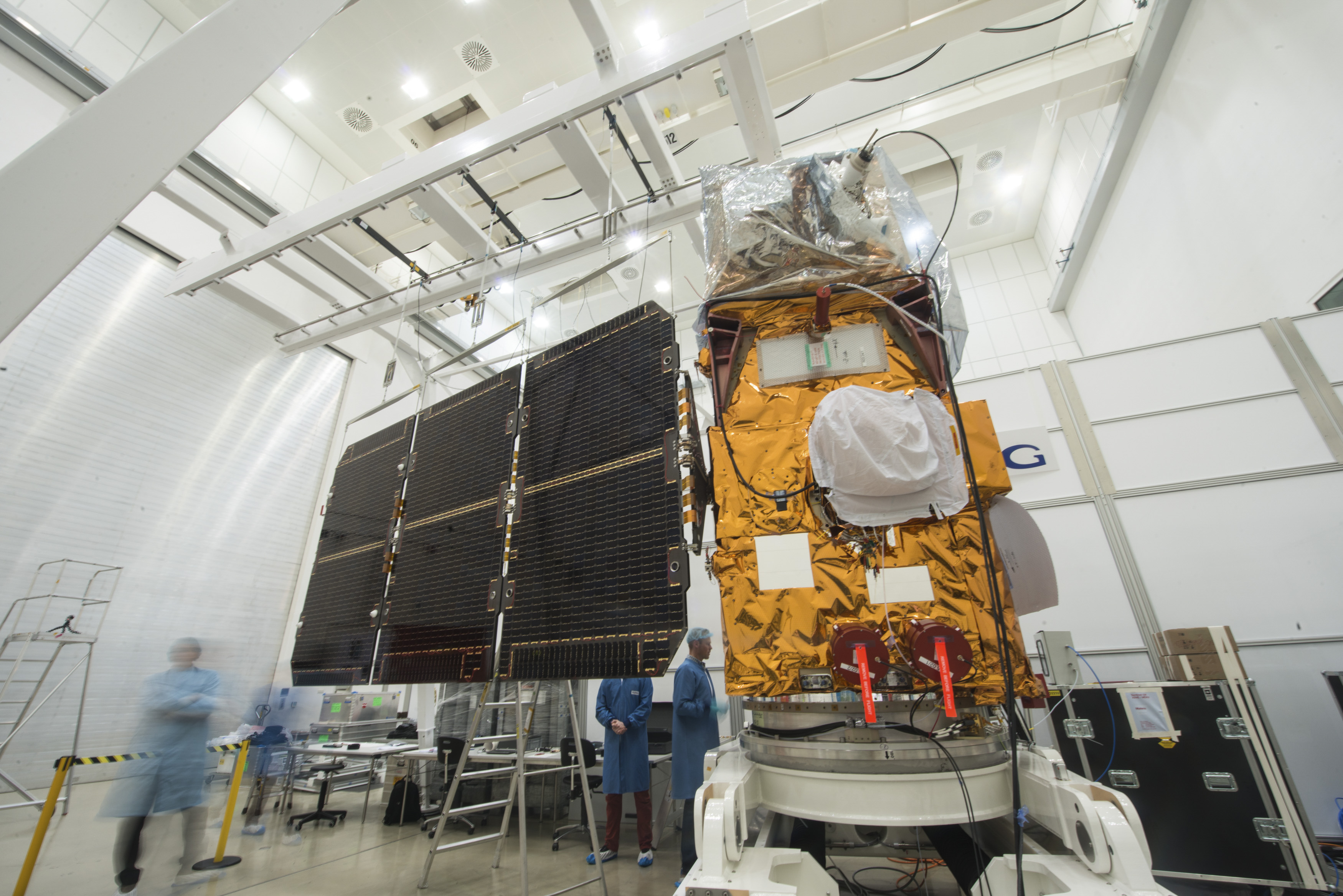
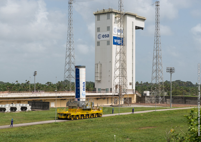
The Sentinel 2A satellite will be tested, configured for flight, and encapsulated inside the Vega launcher’s nose cone in the coming weeks. The 1,140-kilogram (2,513-pound) spacecraft will then be lifted on top of the four-stage Vega rocket ahead of liftoff June 12 at 0148 GMT (9:48 p.m. EDT on June 11).
Sentinel 2A will fly in a polar orbit 786 kilometers — 488 miles — above Earth for a seven-year mission.
Equipped with a wide-angle color camera, the Sentinel 2A satellite is Europe’s counterpart to the U.S. Landsat system, which has catalogued data on Earth’s water resources, agricultural crops, urban growth and coastlines since 1972.
The craft will be the second member of the European Copernicus program, a network of satellites designed to track changes in Earth’s land surfaces, oceans, and atmosphere. Data from the Sentinel satellites will help European policy makers, scientists and security authorities craft new regulations, monitor climate change and respond to natural disasters.
Built by Airbus Defense and Space, the Sentinel 2A satellite’s sole instrument is a 13-channel multi-spectral imager designed to discern between types of vegetation throughout the growing season.
An identical spacecraft named Sentinel 2B is scheduled to launch in 2016, doubling the coverage of the Sentinel 2 system, which is the optical imaging component of the Copernicus program.
Working in tandem, the two Sentinel 2 satellites will fly over the same location at least once every five days, allowing analysts to see changes such as floods, volcanoes and other natural disasters at rapid timescales.
The first Copernicus satellite — Sentinel 1A — launched in April 2014 with a radar payload to collect all-weather, day-and-night imagery of oceans and land, helping map forests and crops, track movements in sea ice, monitor oil spills and follow maritime traffic.
Another Copernicus satellite named Sentinel 3A is on track for launch from Russia later this year to survey the world’s oceans and ice sheets.
Follow Stephen Clark on Twitter: @StephenClark1.