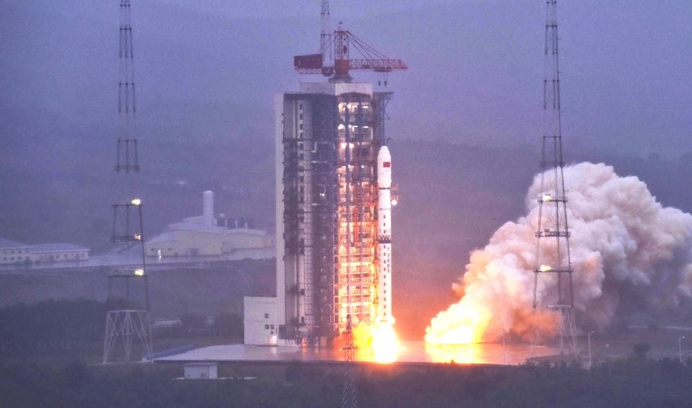
China launched a Long March 4B rocket Wednesday carrying two Tianhui radar mapping satellites into orbit more than 300 miles in altitude.
The two satellites will join a similar pair of spacecraft launched in April 2019, working in tandem to bounce radar beams off Earth’s surface to generate detailed three-dimensional global maps.
The satellite mapping system uses a technique called interferometric synthetic aperture radar to gather stereo data for 3D topographic maps. The data will be used by Chinese military and civilian agencies.
The two new Tianhui 2 satellites, known as the Tianhui 2-02 pair, took off at 6:32 p.m. EDT (2232 GMT) Wednesday from the Taiyuan launch base in northern China’s Shanxi province atop a Long March 4B rocket.
Liftoff occurred at 6:32 a.m. Thursday Beijing time, kicking off China’s 29th orbital launch attempt of the year.
The three-stage, liquid-fueled Long March 4B soared into space on southerly trajectory from Taiyuan. Chinese officials declared the mission a success, according to the China Aerospace Science and Technology Corp., the top state-owned contractor for the country’s space program.
U.S. military tracking data indicated the rocket deployed the two Tianhui 2-02 satellites into a near-circular polar orbit at an average altitude of 317 miles (511 kilometers), with an inclination of 97.45 degrees to the equator.
The satellites will work in tandem, using X-band radar instruments to measure the exact distance from the spacecraft to Earth’s surface. The continuous radar observations will gather data to help Chinese analysts produce regularly-updated three-dimensional maps of the planet.
In a scientific paper, Chinese officials said the Tianhui 2 satellites are similar to the German TerraSAR X and TanDEM X radar observation satellites. The use of two satellites flying in formation yields stereo data critical to generate 3D maps.
From an orbit 300 miles above the planet, the Tianhui 2 satellites can gather imagery with a resolution of about 10 feet (3 meters), Chinese officials said.
China has launched a series of optical Tianhui 1-class optical imaging satellites with a similar 3D mapping mission. The optical satellites are sensitive to spectral differences, allowing users to determine information related to vegetation and agriculture, land use, and natural resources.
The benefit of radar is its ability to map the planet day or night, regardless of weather conditions.
Email the author.
Follow Stephen Clark on Twitter: @StephenClark1.
