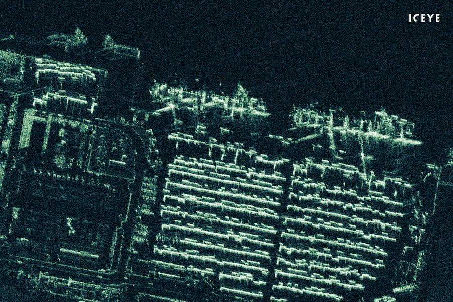
ICEYE, a Finnish company that builds and operates a growing fleet of commercial Earth-observing spacecraft, has released the first radar image from a microsatellite with a resolution of less than 1 meter (3.3 feet), showcasing advances in tech miniaturization that could aid environmental monitoring, military surveillance, and the exploration of other planets.
The sub-meter radar imaging capability is a breakthrough for small satellites, a rapidly-growing sector of the space industry.
The imagery released by ICEYE on Aug. 9 is the first radar imagery with a resolution better than 1 meter from a satellite with a mass of less than 100 kilograms, or 220 pounds.
ICEYE is pioneering the use of radar imaging instruments on small satellites with all-weather, day-and-night surveillance capability. Optical cameras on orbiting satellites are only useful during daytime, and when skies over their targets are clear.
Imaging radars used to be relegated to bigger satellites that could generate more electricity from solar panels to feed the power-hungry instruments. But ICEYE’s miniaturized X-band radar sensor fits on a smaller spacecraft, opening up the possibility of building and launching a relatively inexpensive fleet of radar satellites that can collect updated imagery of specific locations every few hours.
“Offering satellite imagery day and night, regardless of cloud cover, and at these very high resolutions, makes small SAR the new standard for reliable and timely imaging,” said Rafal Modrzewski, CEO and co-founder of Helsinki-based ICEYE. “The imagery we’ve released … shows that the previously perceived limits of small satellite SAR (synthetic aperture radar) continue to be solved by our extremely talented teams at ICEYE.”
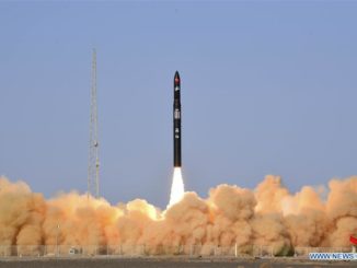
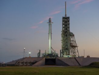
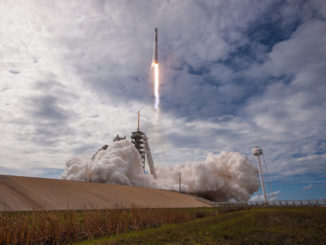
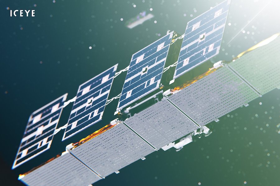
ICEYE has built and launched four suitcase-sized satellites to date, beginning with the first ICEYE demonstration mission, which flew into orbit on an Indian PSLV rocket in January 2018. Another ICEYE spacecraft launched on Spaceflight’s SSO-A rideshare mission last December on a SpaceX Falcon 9 rocket, and two more ICEYE smallsats — with the company’s most highest-resolution radar imagers — launched last month on a Russian Soyuz booster.
ICEYE also supplied a radar payload that launched in May aboard a Rocket Lab Electron launcher on the Harbinger satellite, which was manufactured by York Space Systems for the U.S. Army’s Space and Missile Defense Command.
Using a new “spotlight” imaging mode, the ICEYE satellites can focuses energy on a smaller area for a longer period of time as they spacecraft soar over a target. The radar works by transmitted a beam toward the ground and receiving signals reflected by the Earth’s surface, including those reflected from buildings, cars, and ships.
Miniature, low-power radars like the ones on ICEYE’s satellites could also aid lower-cost probes exploring other planets.
The European Space Agency announced Aug. 1 it is continuing assessments of Earth observation and environmental data from commercial small satellite constellations operated by ICEYE, Planet and Spire.
ESA said it will validate the data generated by the commercial constellations, which could be incorporated into the European Commission’s Copernicus program. The Copernicus program collects global environmental and climate data, primarily through the government-owned fleet of Sentinel Earth-observing satellites.
“I am a strong advocate of fully embracing ‘NewSpace’ and combining missions like ICEYE and Sentinels,” tweeted Josef Aschbacher, director of ESA’s Earth observation programs. “They are very complementary, each serving its well defined user base.”
The Sentinel fleet includes satellites capable of wide-area radar observations, optical imaging, atmospheric monitoring, and ocean measurements.
The ESA-led evaluation of data from the commercial satellite constellations will also assess their utility for scientific and research applications.
“It will be key to increase knowledge about the data quality of these constellations and to foster data interoperability,” said Giuseppe Ottavianelli, ESA’s Earthnet program manager.
Email the author.
Follow Stephen Clark on Twitter: @StephenClark1.